Spaces and Research
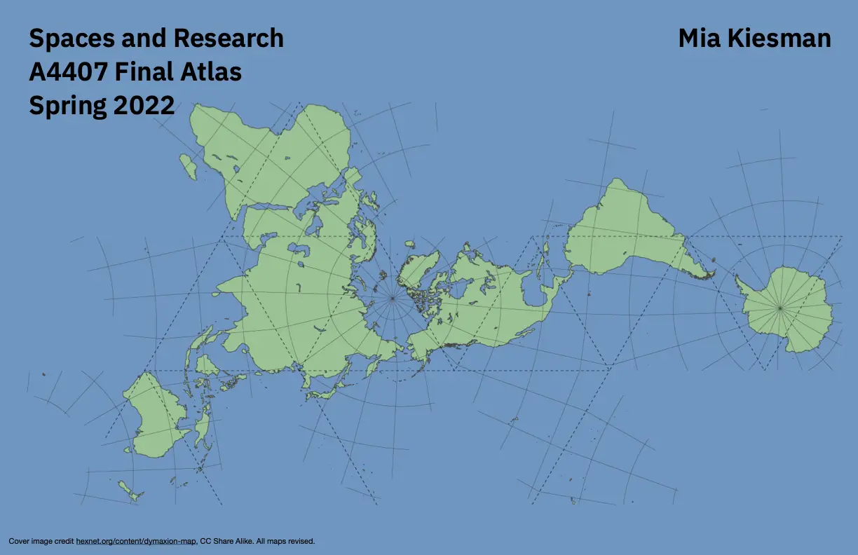
Universities are like tiny sovereign countries. And like any country, there are constantly warring factions within the structure vying for space, money, and social capital. One of the notable ones at Columbia University is GSAPP, or the Graduate School of Architecture, Planning, and Preservation. This is a surprisingly independent school that has some amazing visual branding. A few of their classes are offered for cross registration, and at the recommendation of a friend, I enrolled in A4407 - Methods in Spatial Research. This course covered two topics. Technical GIS system usage in the form of asynchronous tutorials (EXACTLY the way I want to learn, and rare at Columbia), and cultural usages of maps. The final project of the class (which was half a semester - I’ve never heard of another class that does this) was an atlas, with all the assignments put together. The two highlight maps for me was the map of California’s Central Valley (having grown up there I know that very few people realize how incredible California’s agricultural diversity is) and the Pizza Hut-Taco Bell project, due to the completely silly way I found it (extracted every Pizza Hut/Taco Bell location from an offline Open Street Map archive, then ran a O(n^2) algorithm to find any closer than 50 feet from each other).
